
Douglas County Neighbors: Block Sources
A nearby-address search in Douglas County, Nebraska, needs distinct sources for parcel geometry, property administration, civic geography, and historical context. The public records do not form a complete roster of every person on a block. They do create a useful map of current parcels and dated references when used within the access rules. The block coverage below distinguishes a map from an assessment record, a voter system from a neighborhood directory, and a historical directory from present-day information.
| Source | What It Shows About a Block | Access |
|---|---|---|
| DOGIS and Omaha GIS | Current parcels with neighborhood, zoning, historic, SID, district, city-limit, and ETJ context. | Official GIS hub, printable maps, and map-services route. |
| Douglas County Assessor | A parcel's situs address, legal description, and displayed owner or taxpayer information when the live result provides it. | Official county property starting point; state directory cross-check; narrow records request. |
| Register of Deeds Landmark | Recorded-instrument index, legal-description path, book, page, image, and microfilm-request route. | Official Index Book Search and Landmark portal access. |
| Nebraska VoterView and Election Commission | Registration or polling information through distinct lookup functions and subject to statutory copying and purpose rules. | Public lookup, election-office examination, and permitted request channels. |
| One Omaha and Omaha Public Library | Current association context or a dated directory, newspaper, map, and archival reference. | Directory and GIS layers; library materials and research-help channel. |
The result of a block lookup is therefore a record trail, not an identity claim. A parcel's displayed owner or taxpayer can differ from a mailing address. A directory entry records what appeared in a particular edition. A current neighborhood association map reflects a notification and civic layer, not a historical boundary or a membership list.
Douglas County Neighbors on DOGIS
The official Omaha GIS tools and maps are the practical first map for the immediate block. Documented layers include parcels, zoning, council districts, redevelopment areas, SIDs, neighborhood associations, historic properties and districts, city limits, and ETJ. These layers can explain why nearby lots have different civic or planning labels. The research did not capture a reliable inventory of parcel-popup fields or export controls, so preserve the layer used, map link, and date instead of asserting that a particular popup field is always available.
Map labels must remain at the level shown by their sources. Omaha, South Omaha, Benson, Dundee, Florence, Elkhorn, Bennington, Valley, Waterloo, a ZIP city label, a historic district, and a neighborhood association are not interchangeable descriptions. A postal city name does not settle city limits, and a present-day association should not be carried back into an older record without a dated source.
The One Omaha neighborhood-associations source illustrates the current civic-directory layer used alongside the map.
Use the association label as civic context for Douglas County neighbors, then check its source date and stated boundaries before adding it to a block record.
Note: A current association boundary is a notification layer, not proof that every nearby parcel shares the same community label or history.
Map a Douglas County Neighbor Block
Map the immediate block outward from a single address rather than trying to reconstruct a full named street. DOGIS supplies the current parcel setting, while the assessor and recorder supply their own records. This short flow keeps adjacent lots, displayed roles, and source dates separate. For a complete street-length record chain, use the Douglas County street directory rather than extending a block map beyond its purpose.
- Normalize the starting address, retaining its printed form and the street number, direction, name, type, unit, city, ZIP, and date checked. USPS can confirm a delivery ZIP, while older documents may retain another form.
- Locate the address in DOGIS and note the parcel boundaries immediately touching or facing the starting parcel. Record the map layer and current retrieval date.
- Use the official Douglas County Assessor route for each nearby parcel when a record renders. Preserve the parcel or account ID, situs address, legal description, and displayed owner or taxpayer field, not an inferred household.
- When a recorded-instrument question remains, move only that parcel to Landmark using its legal-description route. Capture book, page, image action, instrument type, and date. Do not treat an instrument index as a present-neighbor list.
If the county page does not render, use the Nebraska Department of Revenue assessor directory to confirm the Douglas County route before making a focused assessor request. The city map and the assessment record often complement each other, but they do not prove the same fact. The parcel is a bridge identifier. A grantor, grantee, taxpayer, applicant, or map label remains the role printed by that particular source.
Douglas County Neighbors and Voter Records
Nebraska VoterView is not a block-name search. Registration Information asks for first name, last name, and county; its matching result may confirm the record's address, party association, ballot status, and polling location. Polling Place Search uses a residential address and View Locations. Pending Registration uses the receipt number generated during registration. The address function can answer a polling-place question, but it does not identify all neighbors at nearby addresses.
Neb. Rev. Stat. §32-330 permits public-register examination at the election commissioner or county-clerk office while limiting copies, distributed-list purposes, online distribution, and commercial use. A qualifying request requires identity, contact information, purpose, and an oath. Sections 32-331 and 32-948 protect categories of voter information, and the Address Confidentiality Program has additional protections. No standalone Douglas County voter-file request form was found during research, so a written or in-person commission request should include the statutory purpose and oath information.
Historical election sources exist through RG230, including vote abstracts from 1882 to 1974, cancelled registrations from 1913 to 1951, and original election registers from 1913 to 1970. They are archival series, not substitutes for current VoterView, and require repository-specific access and citation details.
Douglas County Neighbors: 190 Associations
A current association can add community context to a Douglas County block without revealing private membership. One Omaha reports that roughly 190 registered associations are listed across the metro area, that the number changes yearly, that City Planning maintains the directory, and that neighborhood leaders update their entries. The directory supports planning and zoning notifications, events, and grants. Membership is generally open, but public individual-member rosters were not located.
One Omaha association directory
Use the current directory for association name, stated boundaries, contact route, meeting or event information, and update date where present. Treat it as a nonprofit civic-directory source.
City Planning map layer
Use DOGIS and the City Planning neighborhood-associations layer for a current geography check. A boundary shown today is not evidence of an older neighborhood label.
One Neighborhood Grant Program
The program provides a dated civic activity lead for resident-led groups in the City Neighborhood Directory. A grant page does not establish a person's membership or connection to an address.
The 2026 One Neighborhood Grant Program described grants up to $5,000 for eligible Omaha resident-led groups in the City Neighborhood Directory, with a January 1 through March 1 application period. It cited examples including Benson, Prairie Lane, Fairfax, Rambleridge, and Country Club. Those are discovery and local-context leads only, not proof of membership or residence.
The grant-program source records the current civic context used for this Douglas County neighbors search.
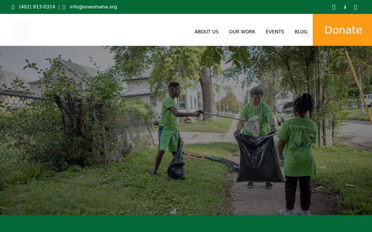
Keep the program date and the association's own stated boundaries with any block note, because participation and directory entries can change.
Douglas County Neighbors: Source Comparison
Official systems and commercial neighbor-search services make very different kinds of claims. A responsible comparison starts with custody, date, and access condition. The official map, assessor, recorder, election, library, and association routes let a reader see which institution keeps the underlying material. Commercial categories can be incomplete, combine records without context, or omit the access limits that control a public record.
| Category | Best use for a block question | Limit to keep visible |
|---|---|---|
| Official parcel, GIS, and recorded records | Identify a parcel, its legal description, current map context, or a documented instrument trail. | Each record has a different keeper and role. An assessment or deed record is not proof of every person at an address. |
| Election and civic sources | Check polling information, permitted public-register access, association geography, events, or notices. | Statutory protections and association-directory limits apply; public membership rosters were not located. |
| Commercial neighbor-search category | At most, use as an unverified lead to be checked against the responsible public custodian. | Accuracy, update timing, source provenance, and lawful-use conditions can be unclear. Do not republish a lead as a fact. |
A direct record has its own page, image, or record number. An official index is a pointer to request or inspect a record. A directory or newspaper is a dated publication statement. Keep those evidence grades visible when comparing addresses around one block.
Note: When a source does not identify its custodian, date, and record type, keep it outside the factual block record until direct confirmation.
Douglas County Neighbors in Block History
Older block research needs dated materials, not a modern neighborhood label applied backward. Omaha Public Library holds city directories in print from 1866 to current and on microfilm from 1866 through 2001, along with newspapers, maps, local histories, and more than 7,000 microfilm or microfiche items. The 1918 Library of Congress Sanborn volume can supply a block's mapped environment when the exact sheet is cited. A directory may identify a name and address in one year; a Sanborn map may show a building footprint; neither alone proves a current connection.
Omaha Public Library research help accepts mail, email, and form requests. Staff can check in-house obituary indexes, the 1866-current directory collection, and book indexes for up to three names. The published simple copy request is $5 in advance, while extended research is capped at a half hour for $20 in advance with five copies included. State the name variants, street, date range, record type, and whether a scan or citation is needed.
The OPL research-help source provides the documented request path for historical Douglas County neighbor context.
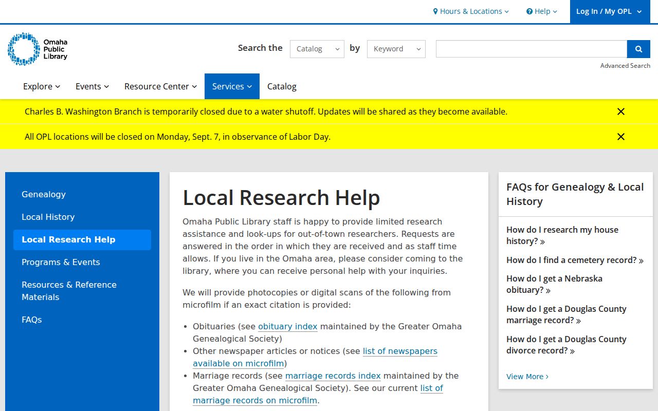
A focused request preserves the difference between a dated library reference and a present-day block observation.
Douglas County Neighbors in Archives
Neighborhood history can also surface in newspapers, city plans, zoning notices, grant announcements, meeting minutes, and archival collections. The Nebraska History publication index covers publications from 1885 to current and can search names, places, and subjects; it recommends a tilde between words for phrase-like searches. A hit is a pointer to an article or issue, not a verified fact until the cited publication is read. Search a street name with an organization and date range, then retain the article or issue citation.
The Nebraska History publication index offers a place-and-subject route for adding documented history to a Douglas County block record.
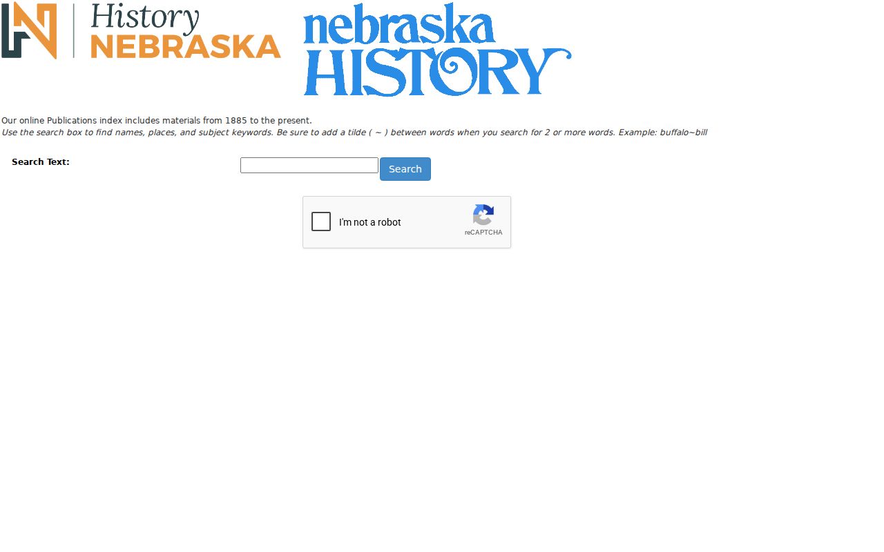
Read the publication itself before using a search hit as evidence about a street, association, or nearby institution.
RG230 also identifies county records from 1855 through 2000, including plats, surveyor material, election registers, court records, and naturalization series. The Douglas County Historical Society reports noncirculating, staff-supervised archival access with advance-request procedures, while its current main site says in-person requests are temporarily suspended. For Douglas County district-court naturalization material, start with the local finding aid and repository path. The National Archives naturalization overview explains the separate federal-holdings route serving Nebraska.
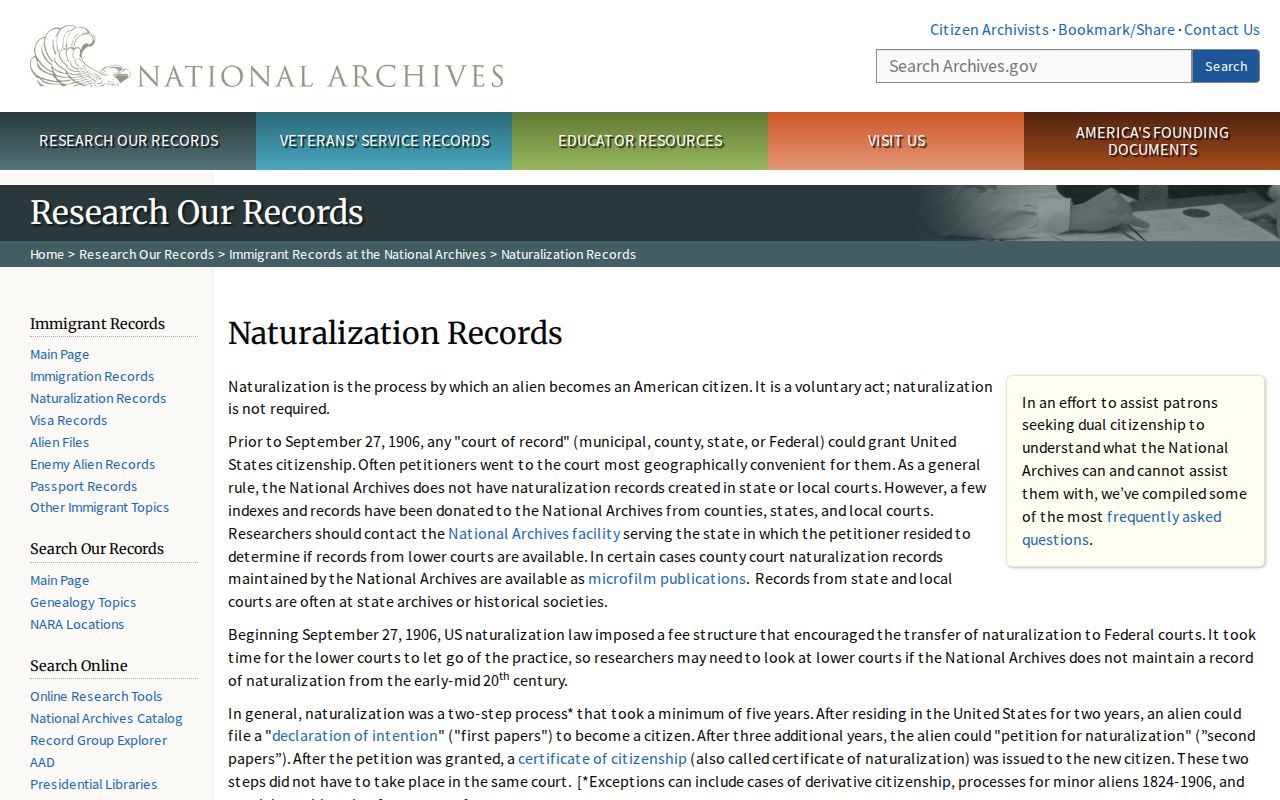
A naturalization record can support a dated archival research trail, but it is not a neighborhood membership record or a substitute for local parcel evidence.
Note: Preserve the repository, record group, series, box or reel, page, date, and access restriction whenever an archival block reference is used.
Douglas County Neighbor Lookup Limits
A block search should stop at the facts the records actually support. A no-result can reflect a spelling difference, date, coverage, privacy rule, index design, or unrendered portal. The research did not capture exact DOGIS parcel-popup fields or a complete current neighborhood-directory field inventory. It also did not locate public association member rosters. Do not fill those gaps by guessing who belongs to an association or who is present at an address.
Nebraska's Address Confidentiality Program supplies a substitute address for qualifying participants in state and local records. When a public record displays one, retain it only as a protected-program indicator and never infer a residential location. Protected voter records require the same care. Douglas County neighbors research is for lawful personal and civic purposes, not watching, targeting, or harassing people.
Lawful use. Use a block map to understand parcel and community context, respect every protected address, and do not use records to stalk, intimidate, harass, or harm anyone.