
Douglas County ZIP Code Directory Coverage
The Douglas County ZIP code directory begins with the research file's working ZIP and ZCTA list. Its area labels are useful for lookup and map cross-checking, not promises that every address in a labeled area receives that code. The research did not identify a post office for each entry, so the table deliberately leaves no office name inferred. Confirm delivery for the exact address through USPS, especially where a place label, municipality, and mailing label may differ.
| ZIP | Areas Covered | Post Office | Notes |
|---|---|---|---|
| 68007 | Bennington | Not identified in the research | Verify the address with USPS. |
| 68010 | Boys Town | Not identified in the research | Place label may not equal general delivery area; verify with USPS. |
| 68022 | Elkhorn | Not identified in the research | Municipal and postal boundaries may differ; verify with USPS. |
| 68064 | Valley | Not identified in the research | Verify the address with USPS. |
| 68069 | Waterloo | Not identified in the research | Verify the address with USPS. |
| 68102 | Omaha core/downtown | Not identified in the research | Verify the address with USPS. |
| 68104 | Omaha | Not identified in the research | Verify the address with USPS. |
| 68105 | Omaha | Not identified in the research | Verify the address with USPS. |
| 68106 | Omaha | Not identified in the research | Verify the address with USPS. |
| 68107 | Omaha / South Omaha area | Not identified in the research | Verify the address with USPS. |
| 68108 | Omaha | Not identified in the research | Verify the address with USPS. |
| 68110 | Omaha | Not identified in the research | Verify the address with USPS. |
| 68111 | Omaha / north Omaha area | Not identified in the research | Verify the address with USPS. |
| 68112 | Omaha / north area | Not identified in the research | Verify the address with USPS. |
| 68114 | Omaha | Not identified in the research | Verify the address with USPS. |
| 68116 | Omaha west | Not identified in the research | Verify the address with USPS. |
| 68117 | Omaha | Not identified in the research | Verify the address with USPS. |
| 68118 | Omaha | Not identified in the research | Verify the address with USPS. |
| 68122 | Omaha | Not identified in the research | Verify the address with USPS. |
| 68124 | Omaha | Not identified in the research | Verify the address with USPS. |
| 68127 | Omaha | Not identified in the research | Verify the address with USPS. |
| 68130 | Omaha west | Not identified in the research | Verify the address with USPS. |
| 68131 | Omaha | Not identified in the research | Verify the address with USPS. |
| 68132 | Omaha | Not identified in the research | Verify the address with USPS. |
| 68134 | Omaha | Not identified in the research | Verify the address with USPS. |
| 68135 | Omaha southwest/west | Not identified in the research | Verify the address with USPS. |
| 68137 | Omaha southwest | Not identified in the research | Verify the address with USPS. |
| 68142 | Omaha / north-west area | Not identified in the research | Verify the address with USPS. |
| 68144 | Omaha west | Not identified in the research | Verify the address with USPS. |
| 68152 | Omaha / north area | Not identified in the research | Verify the address with USPS. |
| 68154 | Omaha west | Not identified in the research | Verify the address with USPS. |
| 68164 | Omaha northwest | Not identified in the research | Verify the address with USPS. |
| 68178 | Exact postal or institutional label not located | Not identified in the research | USPS address-level verification required. |
| 68182 | Exact postal or institutional label not located | Not identified in the research | USPS address-level verification required. |
| 68183 | Exact postal or institutional label not located | Not identified in the research | USPS address-level verification required. |
This is a working list, not a municipal-boundary table. The research specifically flags 68178, 68182, and 68183 because an authoritative postal or institutional classification was not captured. Keep that gap visible until USPS confirms a particular address.
Douglas County ZIP Code Search Fields
The official USPS ZIP Code Lookup has three modes. It is the delivery check for a specific address, while a city label or map polygon is only supporting context. Use the mode that matches the information already in hand, and keep the lookup date with the returned mailing result.
| USPS mode | Fields or inputs | Control | Use |
|---|---|---|---|
| ZIP Code by Address | Street plus city and state, or street plus ZIP | Find by Address | Checks the mailing code for a specific address. |
| ZIP Code by City and State | City and state | Find by City & State | Returns ZIP codes associated with the entered place. |
| Cities by ZIP Code | ZIP | Find Cities by ZIP | Returns city labels associated with that ZIP. |
USPS address mode is the strongest route when a street address is known. City and state mode is useful for a starting list, but it does not establish that every address within a named municipality receives every returned code. Cities by ZIP likewise supplies postal labels, not city-limit status.
Narrow a Douglas County ZIP Code
Use a ZIP as an address-normalization step, then move to the record system suited to the question. The research did not capture an official ZIP-field inventory for the Douglas County Assessor or a broad ZIP-based resident roll in VoterView. Do not assume that a system can be filtered by ZIP merely because an address contains one.
- Enter the full address in USPS address mode. Retain street number, direction, name, type, unit, city, state, ZIP, any ZIP+4 returned, and the lookup date.
- If only a place is known, use USPS city-and-state mode to identify associated codes, then return to address mode when a street is found.
- For voting information, the Douglas County Election Commission's House # and ZIP form returns a polling place, candidates, sample ballot, elected officials, and political subdivisions. It is not a general resident roster.
- Cross-check the address against the Douglas County Assessor's official starting point and the current DOGIS map layers. Keep parcel, city-limit, and postal results distinct.
- Once a ZIP has narrowed the area to a street, use the Douglas County street directory for the address-based record trail.
A ZIP can help organize addresses but is not enough to identify a person. County assessor fields did not render reliably during the official inspection, so use the county portal as a starting point and preserve any actual search fields displayed on the access date. A failed page may be a portal problem, not a fact about the address.
Douglas County ZIP Code Records
Address-based systems use different identifiers. The parcel can connect the assessor, GIS, and recorded-land systems. Landmark uses an addition or a Section, Township, and Range route for its index books. A permit record may use street number or range, street name, type, direction, parcel number, and date. A ZIP helps normalize the mailing address but does not replace the parcel ID, legal description, book and page, or case number that a custodian needs.
The official Douglas County Assessor is the county property-record starting point, and the Nebraska Department of Revenue assessor directory offers a second official route if the county page does not load. The research did not verify the live assessor's required fields, sorting, export, or online coverage. Landmark and a written assessor request are documented alternatives when the needed parcel result is not visible online.
Accela's permit form accepts a street number or range, street name, street type, and direction. It notes that leading zeroes on numbered streets are unnecessary. Preserve the address as printed in the historical source too, since a directory can use a former place name or an abbreviation. Search normalized and historical forms separately instead of silently changing one into the other.
Note: An address, parcel, and ZIP can describe the same place differently, so record which system supplied each label and its retrieval date.
Douglas County ZIP Code Boundaries
USPS delivery geography and Census geography have different roles. Census ZIP Code Tabulation Areas approximate postal delivery areas for mapping and aggregation, but Census warns that they may differ from actual mail routes. A ZCTA is not a precise postal boundary and does not prove that every address inside a polygon receives a particular mailing code.
The Census Gazetteer files describe the separate geography used for mapping and aggregation.
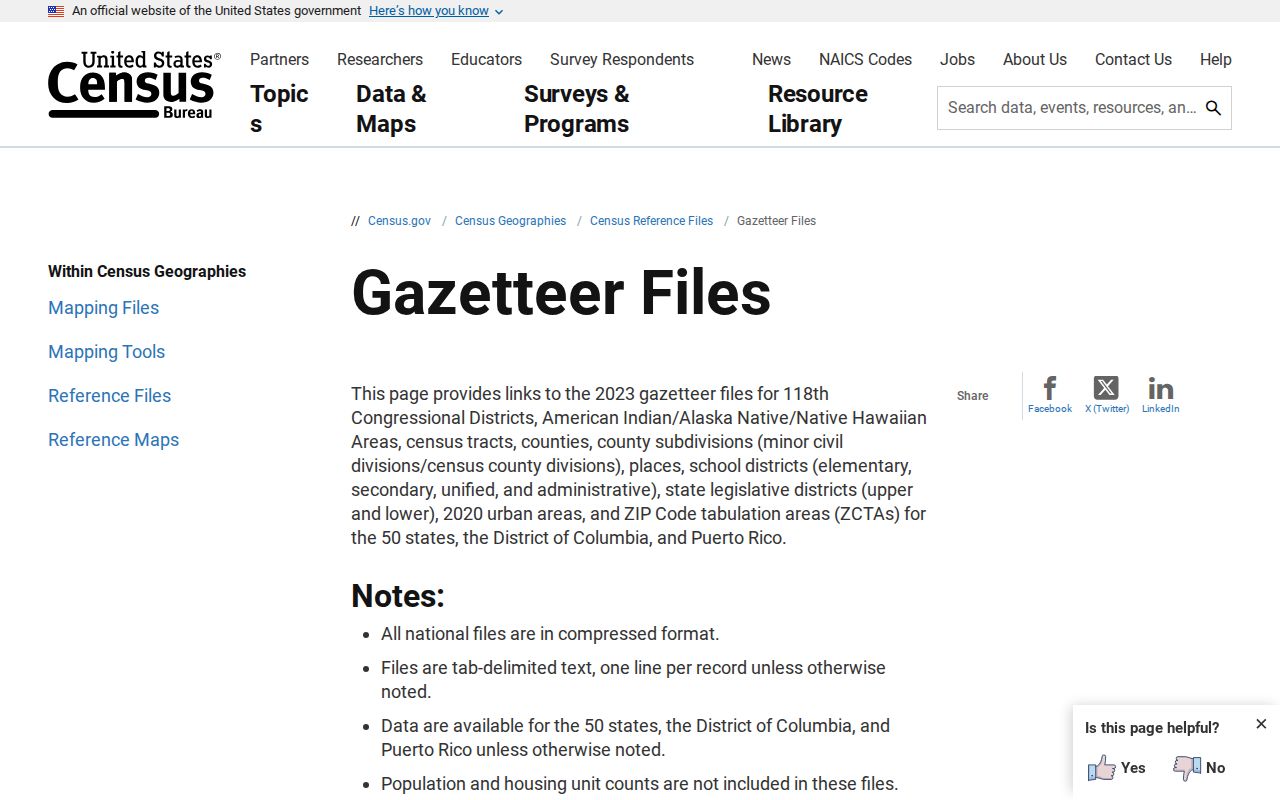
The image points to a geography reference, not an address-level delivery result. Use USPS for the mailing code attached to a particular address, then record the exact source used for any map or statistical comparison.
An Omaha mailing address does not automatically establish Omaha city limits. A ZIP can cross a municipal boundary, city names can be used for postal convenience, and an older record can name a former place. Compare USPS, DOGIS city-limits and ETJ layers, county parcel geometry, and the historical source's own place label. No authoritative complete Douglas County street-renumbering, street-renaming, or annexation chronology was located in the research, so do not fill a mismatch with a guessed history.
Douglas County ZIP Code Neighborhoods
ZIP labels, municipalities, neighborhoods, historic districts, school areas, and neighborhood associations are distinct geographic descriptions. Use the level of place named by the source. Omaha, South Omaha, Benson, Dundee, Florence, Elkhorn, Bennington, Valley, and Waterloo should not be converted into one another simply because a postal lookup returns an Omaha-area label.
Omaha GIS publishes current neighborhood-association and city-map layers alongside zoning, historic districts and sites, SIDs, council districts, redevelopment areas, census tracts, city limits, and ETJ. These are current representations. Pair a present layer with directories, plats, newspapers, or maps before giving historical meaning to a current boundary.
One Omaha reports that City Planning maintains a directory of approximately 190 registered neighborhood associations, with leaders updating entries and the count changing over time. Its entries can supply an association name, stated boundaries, contact route, meeting or event information, and update date. Public member rosters were not located, and association membership should not be inferred from an address or a ZIP.
Douglas County ZIP Code History
For a historical address, keep the current postal result separate from the source's older place label. RG230 begins Douglas County government records in 1855 and notes that early material may use handwritten legal descriptions, additions, precincts, wards, or institutions that do not search like a modern address. The current postal form may normalize a location that a historical record describes another way.
The 1918 Library of Congress Sanborn volume for Omaha, Douglas and Sarpy County has 89 sheets. It can provide dated context for a lot, building footprint, street, or nearby feature, but it is not a postal directory. Cite the exact sheet containing the address. A current neighborhood layer also needs its own source date and should never be projected backward without supporting historical material.
That separation preserves the story in the record: a directory entry is a dated publication, a parcel is an administrative record, a map is context, and a postal result is a delivery reference. None should be treated as a substitute for the others.
Douglas County ZIP Code Terms
Use postal terms narrowly and retain the exact form returned by the source. The distinctions below prevent a postal label from being mistaken for a government boundary or a resident record.
- ZIP
- A USPS mailing code used with an address. Verify a specific Douglas County address in USPS rather than treating a working area label as final delivery proof.
- ZIP+4
- The additional four digits that may accompany a ZIP in a normalized mailing address. Preserve it when USPS supplies it.
- PO-box ZIP
- A ZIP used for a post-office-box delivery path. The research did not classify any listed Douglas County code this way, so do not assign that label without USPS confirmation.
- Carrier route
- A delivery grouping used within postal operations. It is not a city limit, neighborhood boundary, parcel boundary, or Census ZCTA.
Record street number, direction, street name, type, unit, city, state, postal result, alternate forms, and lookup date. When a map and a mailing label disagree, keep both results with their sources instead of forcing a single geography.