
Douglas County Previous Residents Sources
Different sources answer different parts of an address history. A land instrument records a legal transaction. A directory gives a dated publication listing. A map gives a physical setting for its own year. An archival finding aid identifies a series to request. Begin with the newest reliable address form, then choose the source that fits the era and question. Do not turn a single result into a complete history of who lived there before.
| Source | Years It Covers | Where Held | What It Shows |
|---|---|---|---|
| Landmark Index Book Addition search | Index-book additions up to 1989 | Douglas County Landmark | Addition, book, page, image, and deed or mortgage route |
| Landmark linked Lands route | September 2014-current | Douglas County Landmark | Section, township, range, book, page, and image route |
| Omaha city directories | Print 1866-current; microfilm 1866-2001 | Omaha Public Library | Dated name and address listings |
| Omaha water permits | 1880-1968 | Omaha Public Library | Date, address, and homeowner in an index in progress |
| RG230 county records | 1855-2000 | Nebraska State Historical Society finding aid | Plats, surveyor material, marriage, election, court, and other series |
For a recent legal-description question, start with the official county route. For a household question, bracket the date with directories and then check maps, newspapers, cemetery material, churches, yearbooks, or an archive series. The Library of Congress Sanborn volume is a 1918 visual anchor with 89 sheets, but it should be cited by the sheet that covers the address.
Landmark Routes for Douglas County Land History
The Landmark Index Book Search makes the legal-description vocabulary important. Choose Addition when a record uses an addition name. Choose Lands when it uses section, township, and range. The search also asks for Deed or Mortgage. Addition results use addition name, book number, page number, and image. Lands results use section, township, range, book number, page number, and image.
Landmark help describes Index Book Additions as available up to 1989 and directs newer additions to Landmark Web. The help also says a Lands route covers September 2014-current, while its additions language refers to availability from January 1989. Preserve the route and wording used in a search instead of inventing a single universal online cutoff. The viewer has forward and back ten-page controls, page entry, zoom, download controls, and a microfilm-request icon. Image access can involve portal terms or a login gate, and no current image fee was located in the research.
Trace Douglas County Previous Residents Through Deeds
A deed chain follows recorded instruments backward, not a guessed list of occupants. Start with the current parcel or legal description from the Douglas County Assessor, then use Landmark to find the newest confirmed instrument. The assessor is a bridge to the parcel and legal description. The Register of Deeds route is where the deed trail is recorded. Their records should remain separate even when they point to the same place.
- Write down the address as printed, its normalized form, and the parcel or legal description if an official record provides it.
- Choose Landmark Addition or Lands from the legal-description wording, then select Deed or Mortgage as appropriate.
- Capture the addition or land description, book, page, image action, instrument type, date, and any reception number shown.
- Read the confirmed instrument and follow the earlier grantor-grantee direction one document at a time, retaining each citation.
- When the portal route does not cover the needed material, use Landmark's microfilm-request action or make a narrow request to the Register of Deeds.
- Grantor
- The party transferring an interest in a recorded instrument.
- Grantee
- The party receiving an interest in that instrument.
- Chain of title
- The cited sequence of recorded instruments leading backward through a parcel's history.
- Legal description
- The addition, lot, block, or section-based land wording that can remain useful when a street address changes.
Note: A deed image records an instrument and its parties, not a complete list of everyone who used the address.
Douglas County Previous Residents and Sanborn Maps
Maps can supply the built setting that a name index cannot. The 1918 Omaha Sanborn map covers Omaha, Douglas and Sarpy County in an 89-sheet volume. It can show a block, lot footprint, materials, use, or nearby institutional and industrial features for that mapped date. It does not identify every person at the address. Pair the exact sheet with a directory year or a land instrument rather than applying the whole volume to a single lot.
Older addresses often need two versions kept side by side. Use USPS to normalize a current mailing address, but retain source spelling, direction, street type, unit, and historical form. A current Omaha mailing label does not establish historic city limits or a present neighborhood name. DOGIS, parcel geometry, and a source's own place label are useful checks. The research did not locate an authoritative complete chronology of Douglas County street renumbering or renaming, so do not manufacture one.
Douglas County Previous Residents House Clues
The OPL house-history guide connects addresses to permits, water records, directories, newspapers, maps, atlases, and historic-property sources. Its water-permit guidance says Omaha water permits run from 1880 to 1968, with originals at OPL and an index in progress that includes date, address, and homeowner. Many building permits older than 100 years were discarded, while Dundee permits survived. An empty permit result therefore cannot prove that no earlier work occurred.
The captured OPL house-history guide shows the official source for assembling those parallel address clues.
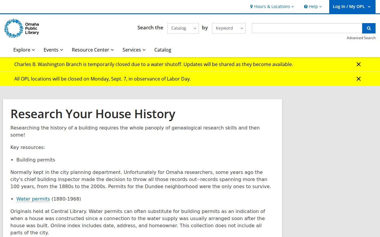
Use a directory entry, water record, map sheet, or newspaper notice as evidence for its own date and role. A house-history timeline is more reliable when each row records the source and its limits.
Past Residents at Douglas County Addresses
Past occupants are not always the parties in a recorded deed. For the household layer, start with the Omaha print or microfilm run for years before and after the target date. The historical microfilm collection also reaches city directories, newspapers, church records, cemetery material, yearbooks, naturalization, marriage and vital records. These sources can offer a second date or address witness, but their coverage is collection-specific. The directory collections themselves are described on the Douglas County city directory page.
Use a short source flow when pairing directories with census research: address as printed in a directory, then the closest census period, then newspapers or obituary indexes for a later event, followed by a cemetery, church, probate, or archival record where the date calls for it. Compare spelling, address, dates, and the printed role. A directory listing, news item, or cemetery card is not enough by itself to merge similar names across decades.
The OPL historical-microfilm collection is captured here as a source for the household and supporting-record layer.
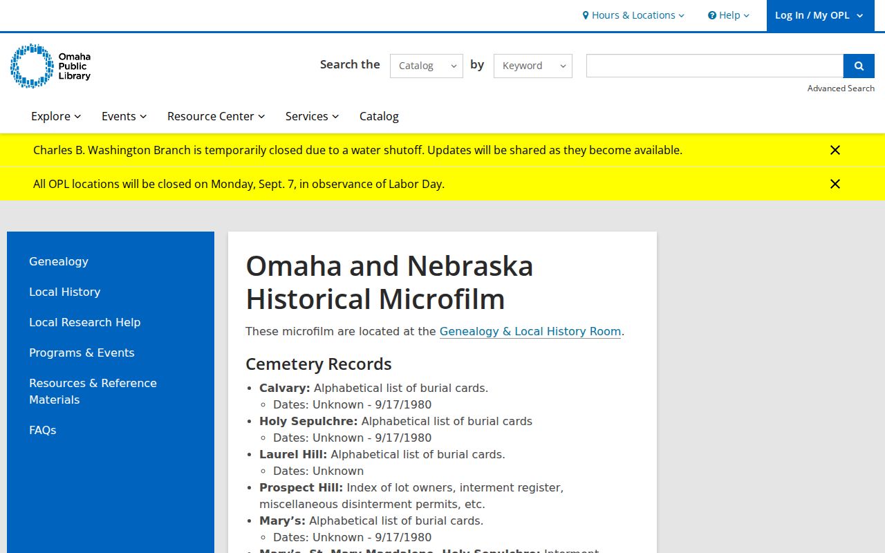
The library's historical holdings can corroborate a dated listing, but the collection description should not be treated as a person-level index.
Lawful use. Use a Douglas County address trail for family history, house history, estate questions, or personal research. Do not use historical sources to stalk, harass, or locate a person whose address is protected.
Douglas County Previous Residents in RG230
The RG230 Douglas County finding aid describes county records from 1855 to 2000, including 1,780 microfilm reels, 72 boxes, about 90 cubic feet, and 224 volumes. It is an inventory, not a person-search database. The value for an address history is its route to surveyor and engineer records: land-plat books, quarter-section plats, city plats, roads and highways, maps, land-record books, bridge and section plans, and field notebooks dated 1872-1934.
RG230 also identifies marriage, election, health, court, and naturalization series that can help resolve an address-era question only after a narrow series is selected. The Nebraska State Historical Society collections search combines ArchivesSpace finding aids, Preservica archives, PastPerfect records, and the library catalog. Record the repository, group, series, box, volume, reel, folder or page, date, and restriction when requesting an item.
The Douglas County Historical Society is another archival channel for neighborhood, institutional, visual, organizational, and manuscript material. Its resources are noncirculating and staff-supervised. The published policy asks for ten days' advance notice, does not allow patron photography or scanning, and lists staff research at $20 per hour with a one-hour minimum, photocopies at $0.25 per page, and scans at $1.50 per page. Its main site says in-person archive requests are temporarily suspended, so confirm access before relying on an on-site appointment.
Privacy for Douglas County Previous Residents
Nebraska's Public Records Act, Neb. Rev. Stat. §§84-712 to 84-712.09, allows inspection of existing public records during normal office hours while retaining exemptions for confidential information and protected categories. A written request can ask for existing records and segregable nonexempt portions. It does not require a custodian to create a new dataset or transform a record into a preferred form. Preserve any stated exemption, fee estimate, response date, and review route.
Address information has additional limits. The Nebraska Address Confidentiality Program provides substitute addresses for qualifying participants. Protected voter information and vital records also have specific access rules. If a record uses a substitute address, preserve that fact without trying to infer the residential location. A cautious prior-address trail records each source's role and date, and leaves protected information out.
Note: A missing result can reflect coverage, spelling, privacy, indexing, jurisdiction, or portal access rather than a final negative.