
Follow a Douglas County Street
Address-based work in Douglas County, Nebraska, is strongest when the address is carried from one custodian to the next. The assessor record can supply the parcel and owner or taxpayer display. A recorded deed can identify a grantor or grantee on a particular date. A voter record has its own statutory limits, and a directory is a dated publication rather than proof of title or present occupancy. Preserve the exact role shown by each record. That keeps a Douglas County street directory search from turning a useful lead into an unsupported conclusion.
- Normalize the address first. Keep the printed form as well as the street number, direction, name, type, unit, city, ZIP, and date checked. USPS is the delivery-address reference, while older sources may retain a different spelling or abbreviation.
- Use the Douglas County Assessor as the official starting point. Capture the parcel or account identifier, situs address, legal description, and owner or taxpayer display if the live record provides them.
- Take the parcel or legal description to Landmark Index Book Search. Read the recorded instrument and work from the newest confirmed book and page to the earlier one, noting grantor and grantee direction.
- For an election-related question, use Nebraska VoterView by name and county, or use its residential-address polling-place tool. A copy of a voter register requires the permitted purpose and oath described in Nebraska law, so it is not a public street-by-street roster.
- For an older household lead, check the Omaha directory year closest to the date. The library's print run begins in 1866 and its Omaha microfilm run reaches 2001; compare nearby years before drawing a conclusion.
Use DOGIS beside this sequence to see how the parcel sits among streets, neighborhood layers, districts, and city-limit or ETJ layers. A parcel identifier is the most reliable bridge across these address records, but it never converts a dated reference into proof of a present household.
Douglas County Street Directory Parcel Start
The county assessor is the official property-record starting point for a Douglas County street search. The county page did not yield a complete, live field inventory during research, so confirmed advanced filters and an online coverage date should not be assumed. The published research checklist identifies the items to record when a result renders: parcel or account ID, situs and mailing address, legal description, property class, tax district, value fields, land or improvement figures, lot area, building size, year built if shown, transfer references, exemptions, and map link.
If the county search fails to render, do not replace it with an unofficial property source. The Nebraska Department of Revenue assessor directory is the official cross-check for the Douglas County route and office contact. Research records the assessor office at the Civic Center, 1819 Farnam Street, Suite 400, Omaha, and a state-listed phone of (402) 444-7457. A narrow request should name the record series, address, parcel if known, date range, and requested format.
The state assessor-directory source confirms the official path used for this Douglas County street directory search.
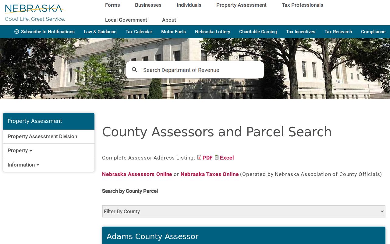
Use the state directory to verify the route before relying on a property screen, especially because the research capture could not verify the county portal's full field set.
DOGIS Layers for Douglas County Streets
Omaha GIS tools and maps connects a street address with the county's present-day geographic context. Its documented layer families include parcels, zoning, council districts, redevelopment areas, SIDs, neighborhood associations, historic properties and districts, and ETJ. Printable maps include city limits, zoning, neighborhoods, and census tracts. The research did not capture consistent parcel-popup labels or export controls, so record the displayed layer, map link, and retrieval date rather than assuming a hidden field exists.
For a Douglas County street directory result, map context is not an ownership record. It can show the relationship between a lot and nearby parcels or a current neighborhood association, while the assessor and Register of Deeds remain the sources for their respective records. An Omaha mailing label also does not settle a municipal-boundary question. Compare USPS delivery information, parcel geometry, DOGIS city-limit and ETJ layers, and the historical source's own place label.
The DOGIS map-services source documents the geographic service behind the Douglas County street directory map context.
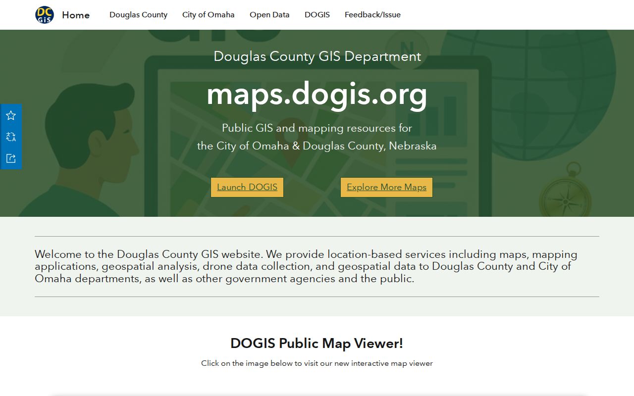
A map layer should be cited as current geography, not projected backward onto an older address without a dated source.
Note: Exact Omaha street-renumbering and street-renaming chronology was not located in the official research sources, so historic address variants require direct checking.
Douglas County Street Directory Landmark Fields
Landmark is the official Douglas County route for land-record indexes and images. Let the legal-description vocabulary select the search path. An address alone may need an assessor or GIS lookup first. If the record uses an addition, lot, and block, begin with Addition. If it uses section, township, and range, use Lands. The index supports Deed and Mortgage choices and reports its rows around the legal description, book, page, and image path.
| Official Landmark field | Search use | Result or next action |
|---|---|---|
| Search Type: Addition | Select or autocomplete the addition named in the legal description. | Rows organize around Addition Name, Book Number, Page Number, and Image. |
| Search Type: Lands | Enter Section, Township, and Range. | Rows organize around those land fields, Book Number, Page Number, and Image. |
| Index Type | Choose Deed or Mortgage. | Use Find Index Books to submit the official index search. |
| Image and microfilm route | Use the image viewer where access is available. | The help describes page navigation, zoom, download, and a microfilm request for document type, book, page, and email. |
The help says Index Book Additions are available up to 1989 and directs newer additions to Landmark Web. Lands coverage is described as September 2014 to current through a linked route, while the help language describes additions as available from January 1989. Image access can involve terms or a login gate, and current payment requirements were not located. Keep the book, page, image action, instrument type, and retrieval date with every result.
The Douglas County Landmark Web entry shows the portal access point that may apply before images are available.
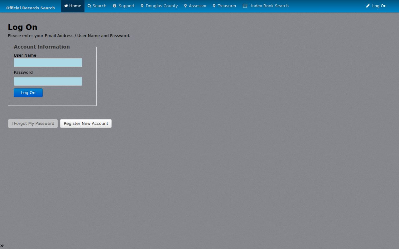
Where the online image is unavailable, the documented microfilm request is a better next step than guessing from an index label.
Note: Keep Landmark's Addition and Lands labels in the citation because the selected legal-description route determines what the index search actually examined.
Douglas County Street Address Permits
Omaha's public Accela permit portal provides another address-keyed record, but it records a permit event and its displayed roles. The observed form offers Permit Number, Permit Type, Record Status, Start Date, End Date, Street No or range, Street Name, Street Type, Direction, Parcel No, First, Last, Name of Business, Additional Criteria, Search, and Clear. The help says a search may use a permit number or street number plus street name and may be narrowed by type and address.
A detail page may display record number and type, address, status, description, contacts, dates, inspections or actions, and attachments. The role might be applicant, owner, contractor, architect, or other contact. It is not evidence that a named person occupied the address. The earliest permit-history date and archive completeness were not established in the research, so an empty result should be preserved as a dated negative, not read as proof that no earlier work occurred.
The Omaha Public Works Accela module adds General Search, Site Address, Parcel Number, and Permit Information modes, with address, unit, parcel, record, date, license, and contact fields.
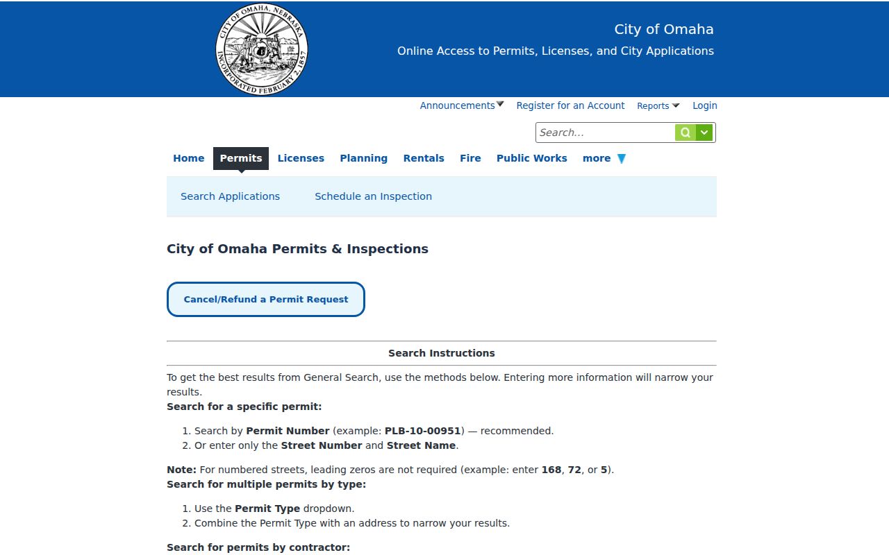
The form's street-number, street-name, type, direction, and parcel inputs make it useful for testing a normalized address against a dated city record.
The Public Works search source is a separate documented route for address and parcel searches.
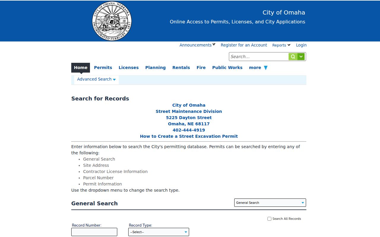
Search results should retain the selected module and fields because the observed option lists, paging, and export controls can vary.
Douglas County Street Directory Record Coverage
The address records in Douglas County do not all measure the same thing. Use the source that matches the question, then state its limit in the note or citation. The table separates parcel administration, recorded instruments, permit events, election administration, current map context, and dated publications. It also shows why a street directory entry needs more than one source before it supports a careful conclusion.
| Address record | Douglas County keeper | What it can show | Documented access |
|---|---|---|---|
| Assessor parcel record | Douglas County Assessor | Situs, legal description, parcel or account ID, and owner or taxpayer display when provided. | Official county starting point; state assessor directory; targeted request if the page fails. |
| Parcel and civic layers | DOGIS and Omaha GIS | Parcels, current neighborhood associations, zoning, historic, SID, district, city-limit, and ETJ context. | GIS map hub, printable maps, and map-services route. |
| Land index and image | Douglas County Register of Deeds | Recorded deed or mortgage index path, book, page, image, and legal-description route. | Landmark index, portal entry, image viewer, or documented microfilm request. |
| Permit or public-works event | City of Omaha | Dated record number, address, status, description, contacts, actions, or attachments where displayed. | Accela permit and Public Works modules; department contact for a narrow request. |
| Voter and directory evidence | Nebraska election system and Omaha Public Library | Registration or polling information under rules, or a name and address as printed in a dated directory. | VoterView, Election Commission channels, library print, microfilm, research help, and archival collections. |
The assessor, Register of Deeds, clerk, and court clerk are separate custodians even when they are near one another in the Civic Center. A deed image is not an assessor ownership history, and an assessor card is not a legal title opinion. Under the Nebraska Public Records Act, ask for an existing record, identify the series and date range, request segregable nonexempt portions, and retain any fee estimate or stated exemption.
Note: A request that identifies the address, legal description, date range, and record series gives the custodian a narrower and more reliable search target.
Douglas County Street Directory Terms
These terms keep an address search precise. They are especially useful when a modern street address must be translated into the legal-description terms required by Landmark or a historical plat.
- Parcel
- A land unit used by the assessor and GIS to connect a situs address, legal description, and tax administration record.
- Situs address
- The physical location shown for the property. It can differ from the owner's mailing address.
- Plat
- A map or survey record that lays out lots, blocks, additions, streets, or sections. RG230 describes Douglas County surveyor and engineer material, including plats and field notebooks.
- Criss-cross directory
- An address-arranged or reverse directory concept used to locate the dated entry associated with a street address. Confirm the exact volume and arrangement with the library before relying on it.
A description that says addition, lot, and block belongs on Landmark's Addition path. One that says section, township, and range belongs on Lands. That distinction is a Douglas County records quirk, not a formatting preference.
Douglas County Street Records Over Time
One address can have a long, uneven evidence trail. Omaha Public Library lists city directories in print from 1866 to current and on microfilm from 1866 through 2001. Its genealogy and local-history holdings also include maps, newspapers, and more than 7,000 microfilm or microfiche items. The microfilm room has four readers that scan to USB and two that print up to 11.5 by 17 inches. A library directory entry places a name at an address when that volume was published. It does not establish title, relationship, or present status.
The 1918 Library of Congress Sanborn volume is a dated map source for Omaha, Douglas, and Sarpy County. It has 89 sheets, so cite the sheet containing the address. RG230 supplies another route: its county surveyor and engineer series includes plats, city plats, roads, land-record books, and field notebooks from 1872 to 1934. A strong address timeline labels each entry as a directory statement, filed instrument, map context, permit event, or assessor record.
For help that cannot be completed in a visit, OPL research help accepts mail, email, or form requests. Staff may check in-house obituary indexes, the 1866-current city-directory collection, and book indexes for up to three names. The stated basic copy request is $5 in advance; broader research is capped at a half hour for $20 in advance including five copies, with additional pages at $1 each. The historical directory collections are described in more depth on the Douglas County city directory page.
For non-digitized neighborhood or institutional material, the Douglas County Historical Society requires advance requests and reports staff-supervised, noncirculating access, although its main site says in-person archive requests are temporarily suspended. The Nebraska State Historical Society collections search combines finding aids, digitized archives, collection records, and catalog paths, so repeat the street or addition search in each route.
Note: OPL reported a 2026 genealogy-service move, so verify the current location, hours, and access conditions before planning microfilm research.
Douglas County Street Voter Boundaries
Nebraska VoterView has three separate utilities. Registration Information takes first name, last name, and county; a matching result can show the registration record's address, party association, ballot status, and polling location. Polling Place Search takes a residential address and uses View Locations. Pending Registration takes the receipt number from the registration process. Those functions have different purposes, and the address tool does not identify a block of voters.
For public-register examination or a permitted copy, Neb. Rev. Stat. §32-330 sets the conditions. It limits copying and distributed-list purposes, requires requester information, permitted purpose, and an oath, and bars online distribution. Protected records under §§32-331 and 32-948 must remain protected. A standalone Douglas County voter-file request form was not located, so use the Election Commission's written or in-person channel with the required purpose and oath information rather than assuming an online street-list form exists.
The Election Commission's August 3, 2026 snapshot displayed 367,700 registered voters. That is a dated administrative total, useful only as county-scale context and never as a profile of people on a particular street.
Limits of a Douglas County Street Directory
A street search can reveal public records, map context, and dated publications, but it cannot safely fill every gap. A no-result may reflect spelling, date, jurisdiction, privacy, portal coverage, indexing, or an unrendered page. The research did not locate exact Douglas County assessor advanced-search fields or coverage dates, a complete Landmark fee statement, or a verified street-renumbering chronology. Preserve those gaps instead of treating silence as an answer.
Nebraska's Address Confidentiality Program provides substitute addresses for qualifying participants in state and local records. A substitute address must be treated as a protected-program indicator, never as a route to a residential location. Public records are for personal, lawful research and civic curiosity. They must not be used to stalk, harass, intimidate, or harm anyone.
Lawful use. Keep a Douglas County address trail focused on the records and their dates, respect protected addresses, and stop when a search would expose or target a person.